
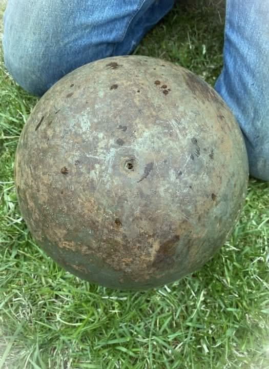
This massive steel ball comes from an era defined by industrial strength and innovation. Once essential to large grinding mills, it helped turn raw minerals and ores into fine powder, material that fueled factories, construction, and the growth of modern life. In ball mills, spheres like this acted as silent workhorses.
Each impact crushed and pulverized material with remarkable force. Their constant pounding was a reminder of human ingenuity transforming raw earth into something useful. It represents the kind of industrial engineering that powered the development of mining operations across the world, especially during the nineteenth and twentieth centuries.
Made from hardened steel, these balls were designed to withstand extreme pressure and repeated impact without losing their shape or efficiency over time. Even though modern technology has introduced more efficient grinding systems, the basic principle remains an important part of industrial processing today.
This object also serves as a physical reminder of the scale and intensity of industrial production, where enormous machines worked continuously to transform raw materials into usable forms.
In mining facilities, thousands of similar spheres would circulate through massive rotating drums, breaking down ore with relentless repetition.
The process was loud, heavy, and essential to industries that shaped infrastructure, transportation, and manufacturing. While it may appear simple at first glance, the steel ball reflects a deeper story of progress, labor, and technological advancement.
Today, many of these objects are preserved or repurposed, not only as industrial artifacts but also as symbols of how engineering solutions evolve over time.
They stand as evidence of a period when durability and mechanical force were central to innovation, long before digital systems and automation changed the landscape of production. Ultimately, it remains a quiet symbol of industrial history and the human drive to build stronger, faster, and more efficient systems constantly.